The U.S. Embassy, in partnership with Map the Philippines and OpenStreetMap Philippinesinvites you to a mapathon to support the American Red Cross’ Typhoon Haiyan Recovery Program in Leyte. They are currently working in 23 barangays or villages on integrated recovery programs including house construction, house repair, community infrastructure, disaster risk reduction, livelihoods and water and sanitation.
If you’re new to mapping and OpenStreetMap, we’ll teach you the basics of mapping cities and disasters. Everyone is welcome! #mapPHL
Here’s a preview of the task: https://tasks.hotosm.org/project/1129
Important: Please be sure to register here on Eventbrite with your details by noon on Tuesday, January 19 to clear embassy security.
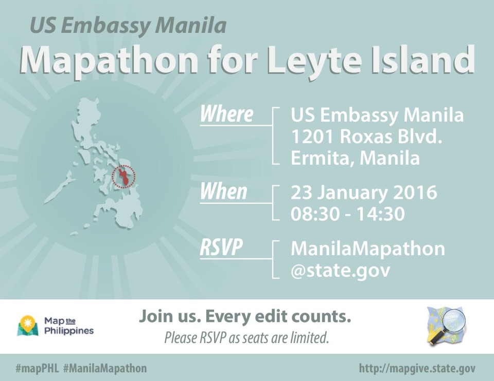
Saturday, January 23
8:30am to 2:30pm
U.S. Embassy Manila
1201 Roxas Boulevard
Ermita, Manila
*Please bring your laptop, and GPS or smartphone to download mapping apps. 15 computers will be available to those who need it, please note this in your registration. Complimentary pizza lunch will be served.
Many thanks to the MapGive project, the Humanitarian Information Unit (HIU) of the U.S. Department of State is providing the OpenStreetMap community access to updated satellite imagery services to help assist with humanitarian mapping.
- WHEN
- WHERE
- Embassy of the United States of America – 1201 Roxas Boulevard Manila, NCR 1000 PH –View Map