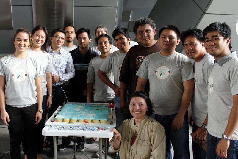
Many thanks to World Food Program and Bonifacio Global City for generously sponsoring our OpenStreetMap 10th anniversary celebration. Special thanks to co.lab, SkyEye and Mind Museum for helping host the event.
Inspired by the Wikipedia model, OpenStreetMap was created by Steve Coast in the UK in 2004. 10 years, and 1.7 million users later, OpenStreetMap continues to grow and thrive helping citizens navigate neighbourhoods all over the world.
Our speakers included:
- Blenn Huelgas from World Food Program Philippines
- Sara Terp from Ushahidi
- Edgar Illaga from SkyEye drones
- Eugene Villar from OpenStreetMap Philippines
Thanks to our friends and partners from World Bank, USAID, British Council, Ateneo Sustainability Institute for attending the event!
Take a look at our event photos >>
Our goal is to map the Philippines for disaster response, community resiliency and better transparency. In partnership with OpenStreetMap Philippines, SkyEye Drones, Humanitarian OpenStreetMap, and the U.S. State Department’s MapGive program, we’re hosting free OpenStreetMap training workshops in cities across the Philippines. We’re also bringing innovative and accessible internet access solutions and communications tools to the communities we partner with. We’ll have more exciting updates soon, please stay tuned.
Here’s a terrific video showcasing 10 years of edits on OpenStreetMap. Thank you mappers!