Associated Press
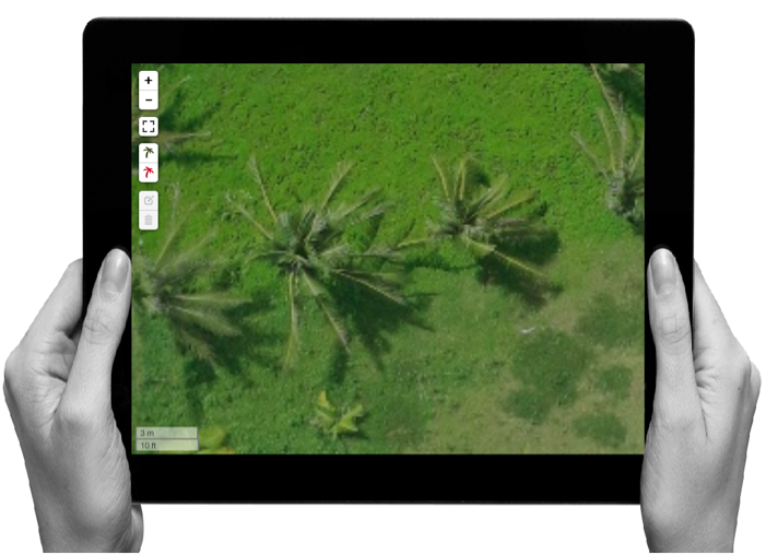
Micromappers is a great initiative where citizens can help classify disaster damage with just two clicks on your computer. With the deluge of data, social media posts, images and video that arise during natural disasters, humanitarian organizations, governments and business need your help to more quickly assess damaged infrastructure like flooded roadways, unsafe school buildings, and fallen cell phone towers.
Micromappers
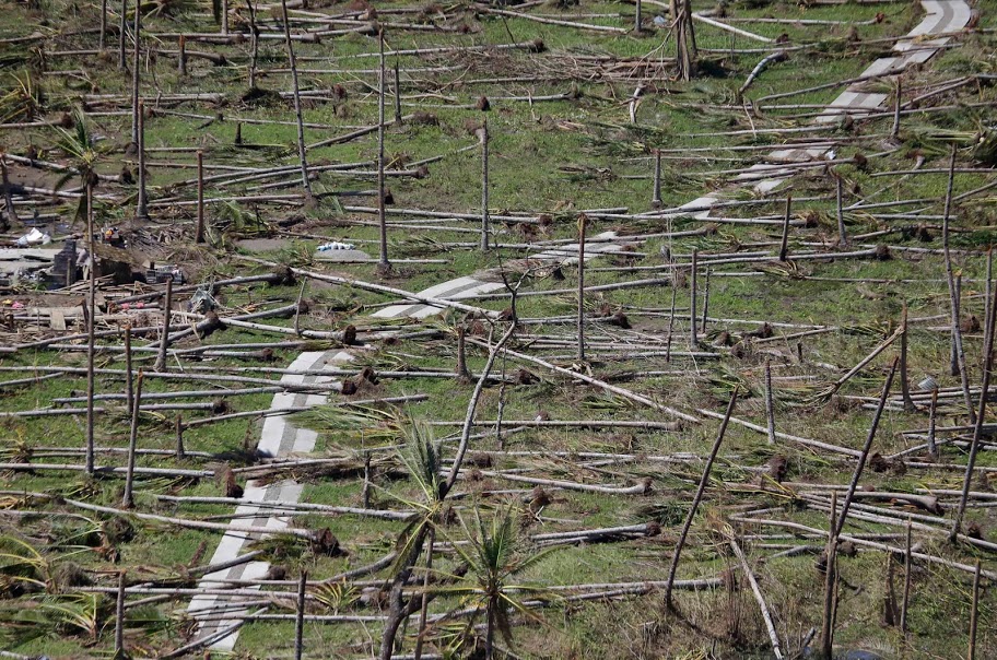
For farmers, tracking the damage to destroyed fish pens, farm land and market roads can be time consuming and labour intensive.
So if you have a minute or two and are willing to a lend a helping hand, Micromappers could be a fun and simple way to get involved. Until 9pm Manila time, 8am EST Saturday, December 6, we’re helping launch the global Micromappers Coconut Expedition to help tag damage to coconut tree farms from Philippine Typhoon Glenda using images captured by our drone partners, Skyeye.
It’s a great experience and and teaching tool for kids and families, so I hope you’ll join us!