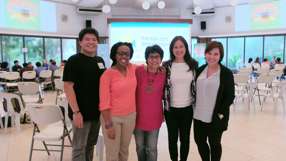
Celina Agaton with partners from xchange and Making All Voices Count at the Map the Philippines Unconference on July 2015.
Map the Philippines is an international initiative to help provide free, comprehensive and accessible maps of the Philippines. We teach local government, business, NGOs, students and citizens how to map their community assets and visualize needed infrastructure and investment for economic and tourist development, and disaster and community resilience. We collect and share data to help meet the Sustainable Development Goals through real-time data collection, coordination and monitoring of cross sector efforts. Our mapping partners include the U.S. State Department’s MapGive program, OpenStreetMap, Humanitarian OpenStreetMap, OpenStreetMap Philippines and the Digital Humanitarian Network.
Our goal is to help create more sustainable infrastructure and to provide a space for better cross sector collaboration, transparency and accountability for our communities. Our free online platform launches in early 2016 and provides opportunities for citizens and organizations to share their programs, services, and best practices, and to identify funding needs and connect with other stakeholders.
Map the Philippines’ partners include Making All Voices Count, a consortium of the U.K Department for International Development (DFID), U.S. Agency for International Development (USAID), Swedish International Development Cooperation Agency, Open Society Foundations (OSF) and Omidyar Network (ON), Hivos, the Institute of Development Studies (IDS) and Ushahidi.
Map the Philippines launches in the summer of 2016.
