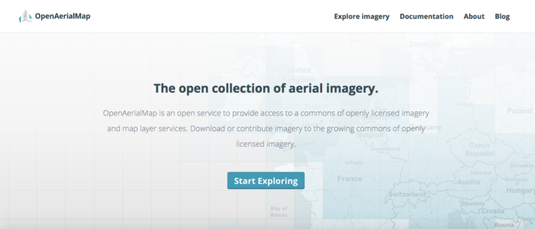
OpenAerialMap is an open service to provide access to a commons of openly licensed imagery and map layer services from around the world. Rather than spending time and resources on expensive imagery, you can search teh repository and download or contribute imagery to the growing commons of openly licensed, non-commercial imagery. This helps governments, NGOs, business and academe access expensive imagery and helps reduce duplicate efforts on high resolution map imagery.
Under the World Bank OpenRoads project, my company and partners were the first to share our Philippine imagery on OpenAerialMap.