Under the OpenRoads initiative, the World Bank is supporting the government of the Philippines in advancing a set of policies and tools to improve strategic local road infrastructure for inclusive growth. The starting point for financing and implementation of better local road networks is a strategic map.
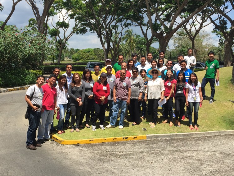
OpenStreetMap Philippines conducted a 2-day OpenStreetMap workshop, with SkyEye drone mapping, community consultations and the Local Government Units of Tanauan and Malvar, Batangas. A follow up visit and additional mapping events and tools are planned soon.
Update: our drone imagery is available on CC-BY license on the OpenAerial platform.
View the photo gallery on Facebook >>
Learn more:
OpenRoads
http://openroads.ph/
OpenStreetMap Philippines
http://
Map the Philippines
http://celinaagaton.com/
