Just a quick update on the fly:
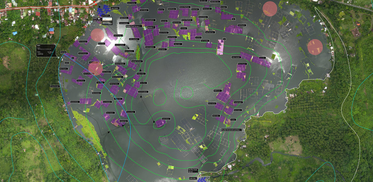
We’re up to 10 drones now and are looking at getting live streaming capabilities. The drones are currently being using for disaster mapping but will soon also verify aid delay reports.
Priority Areas:
Northern Panay
Northern Negros
Northern Cebu
Leyte
Samar
Zamboanga
Our current team will be in Panay Island next week December 11 to December 15 our targets are:
A.) Capiz
B.) Aklan River Headwater (Libacao and Banga)
If we finish early we may go to Northern Negros to map some areas there.
December 16 to December 20 we will be in Davao and Compostela Valley
December 21 to December 28 will be in Cagayan De Oro Area (and maybe Zamboanga).
On the Return to manila we will head towards Cebu First and do Northern Cebu Again if we can.
In the long term, we’re looking to establish drone nodes that overlap with the Philippine Disaster Recovery Foundation’s eight priority areas:
-Northern Cebu
-Northern Negros
-Northern Panay
-Leyte
-Samar
-Palawan
-Bohol
-Zamboanga City
And then we hope to have 20 areas of coverage based on the disaster preparedness and response hubs we’ll be setting up and training in January. If you’re in Manila or available online over the next six months, we’ll need all the help we can get as we’ll be conducting a cross sector community resilience analysis identifying risk areas with logistics and political challenges in preparation for the upcoming monsoon season in June. I’ll set up a sign up sheet to organize contacts, availability, skills and locations soon.
More to come soon –
Celina
