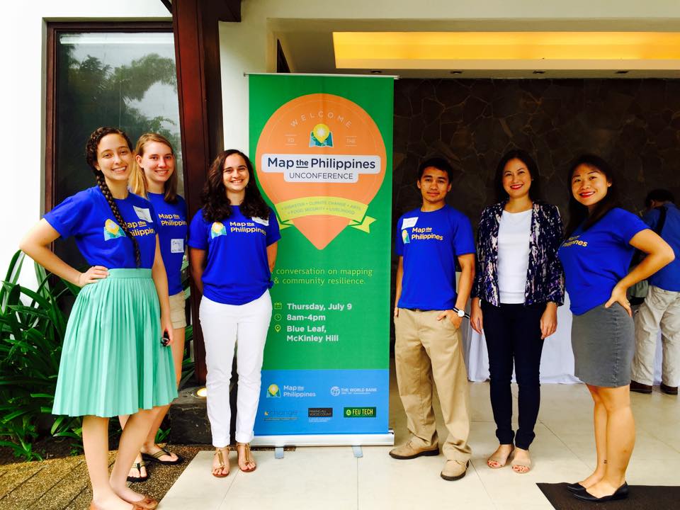
Celina Agaton with the 2015 USAID AidData Fellows
I’ve had the pleasure of hosting five USAID AidData Fellows from June to August 2015 here in Manila to work on several of my Map the Philippines initiatives. This is the first time fellows have been hosted in the Philippines, and we hope to host more fellows in the future. The AidData program helps improve the planning, tracking and delivery of aid of by using maps to visualize where aid has been delivered to a nation. In many cases, aid reporting data tracks the announcement of aid being promised to a nation but doesn’t track the flow down to the region, province, municipality, barangay or village. The process of creating these maps starts with geocoding, where a program or service is assigned a geographic location so that it can be placed on a map. Plotting these locations helps create maps that visualize patterns in the delivery of aid against poverty, disaster risk, hunger and other measures that can help fine tune programming and identify whether there are gaps and overlaps in the flow of aid within and organization, and across sectors. Government, NGOs, Business and citizens provide many programs and services to help communities, but often work independently, and in silos, so mapping can provide opportunities for better coordination, collaboration and monitoring of aid.
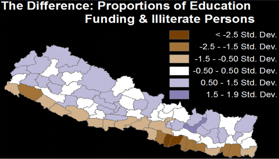
Literacy funding (purple areas) mapped against illiteracy levels – brown to dark brown indicating high illiteracy levels.
So far the Fellows have joined me on several community engagements across Manila and Leyte, meeting mayors, students and other community leaders, faced challenges with contacting multiple government agencies for access to data and traveled hours to remote areas with limited road infrastructure for first hand experience on the importance of mapping and open data policies for better planning and accountability across public and private sectors. They’ll compile a summary of their work here by August, stay tuned here for the final report.
The fellows are here until August 12th, and are available to provide a complimentary 1-3 hour presentation or half day geocoding workshop to your organization. Here’s more background on their presentation.