Participatory Mapping with the Municipality of Malvar, Batangas
It’s been a while since I’ve done an update to the crisismappers network since my talk post Typhoon Yolanda/Haiyan at the International Conference on Crisis Mapping, but there are lots of good things happening here in the Philippines. The White House Office of Digital Strategy and the Office of Science and Technology Policy invited me to attend the first White House Mapathon on May 21, so I’ll be in DC until May 23 if folks want to meetup.
We’ve begun my cross sector initiative to provide a comprehensive map of the Philippines on OpenStreetMap. I’ve won a grant from Making All Voices Count to develop an open source, open data platform to provide layers of data from hazards and population, to infrastructure, disaster, community and economic reslilience needs. Some of our data partners include UNOCHA, Department of Interior and Local Government, League of Municipalities, WWF and corporate, NGO and citizen networks. One of the core functions of the platform is to identify gaps and overlaps in community needs versus publicly and privately funded programs. We aim to complete the first modules of the platform over the coming weeks to prepare for the upcoming monsoon season and 7.2 earthquake in Manila. We’re targeting high risk poverty, disaster and illegal fishing and poaching areas for disaster resilient farming projects and will be mapping this data on to the platform. This is a critical time in the Philippines with an upcoming national election in May 2016, meaning a government slow down by October 2015. We want to future proof the platform to ensure our partners are networked and running regardless of the future administration and in preparation for disasters.
The U.S. State Department’s MapGive program is generously providing satellite imagery help us map base layers on OpenStreetMap. I’ve requested Bing imagery to be refreshed countrywide to support our preparations. We would also love to be included on Missing Maps soon to help fast track our mapping.
With the World Bank and Department of Budget and Management, we are working on training local government units, colleges, cross sector partners and citizens on OpenStreetMap and a suite of other mapping tools for a more participatory planning and budgeting process on infrastructure planning.
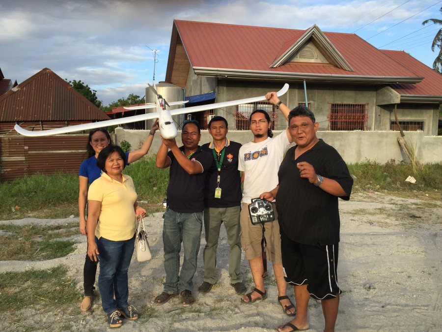
We’re also providing free OpenStreetMap workshops across the country, including 5-day mapping training series pilots with colleges to learn OSM, JOSM and other free and opensource tools. We have a local drone partner who provide 5cm/pixel imagery for infrastructure, disaster preparedness and monitoring and evaluation and helps visualize infrastructure needs for budget proposals. We’re working with USAID AidData Fellows to work on several of our programs as well.
We’ll be piloting a Map the Philippines initiative to connect local and international mappers to local tourist and at risk area mapping activities. This is in preparation for the International Conference on Crisis Mapping which I am co-organizing in late 2016 and hosting in our new 26,000 square foot arts, tech and disaster resiliency centre. After the conference we are inviting mappers to join mapping events across the country.
Week of June 15th we’ll be organizing a free OSM training in Manila to help provide support for climate change and disaster risk mapping for the Philippines to join global Climathons with ClimateKIC on June 18 for COP21. On June 24 we’ll be hosting a Map the Philippines mapping event with OpenStreetMap Philippines and OSM Founder Steve Coast. This is in partnership with Making All Voices Count and includes a pitching competition on disaster resiliency tech with prize amounts of up to GBP20,000 or US$31K following incubation. We’ll be organizing mapathons for Disaster Resilience Reduction Day on October 13 and World Food Day on October 16.
I’ll have other updates on food security and disaster resilient agriculture soon.
Thank you for all your support so far. We’ll need help with feedback and support during these critical months and hope you can join us online and in country. We’ll have more details online soon.