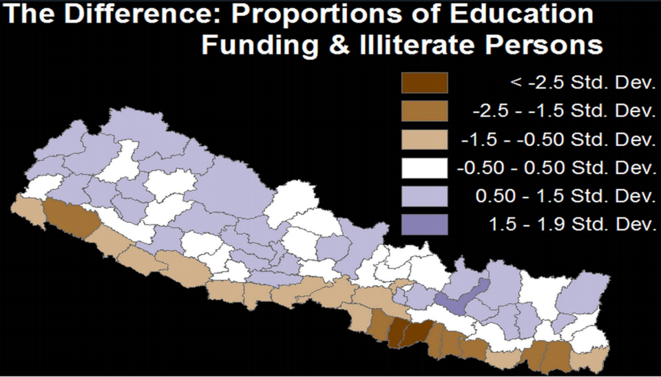
Approved Scaling: $455M Mindanao Transport Connectivity Improvement Project
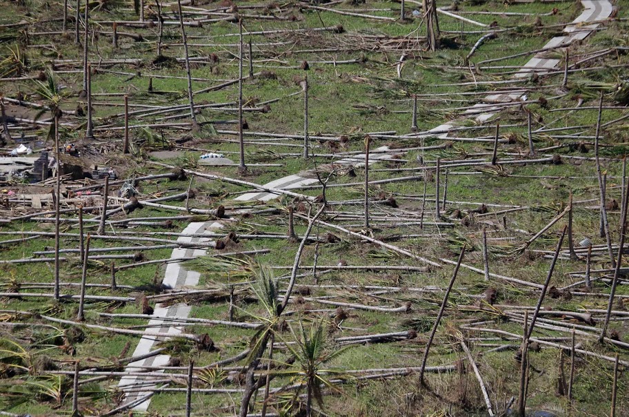
In 2019, I led my largest implementation and field testing of my local data economy model. Research, investment, policy and program development studies are typically conducted in a siloed and uncoordinated fashion that requires a lot of time, effort and expense for local communities. The Philippines is ranked as the most at risk for disasters and climate change, averaging 22 typhoons (hurricanes or cyclones) a year. This places a tremendous burden on local communities who are typically required to travel long, difficult journeys to attend numerous events and workshops that are often located far away near airports or luxury hotels for the convenience of donors and funders.
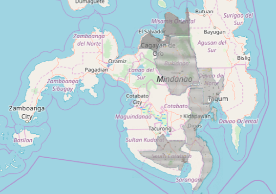
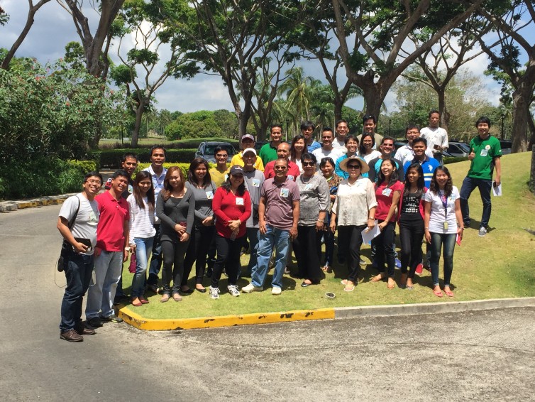
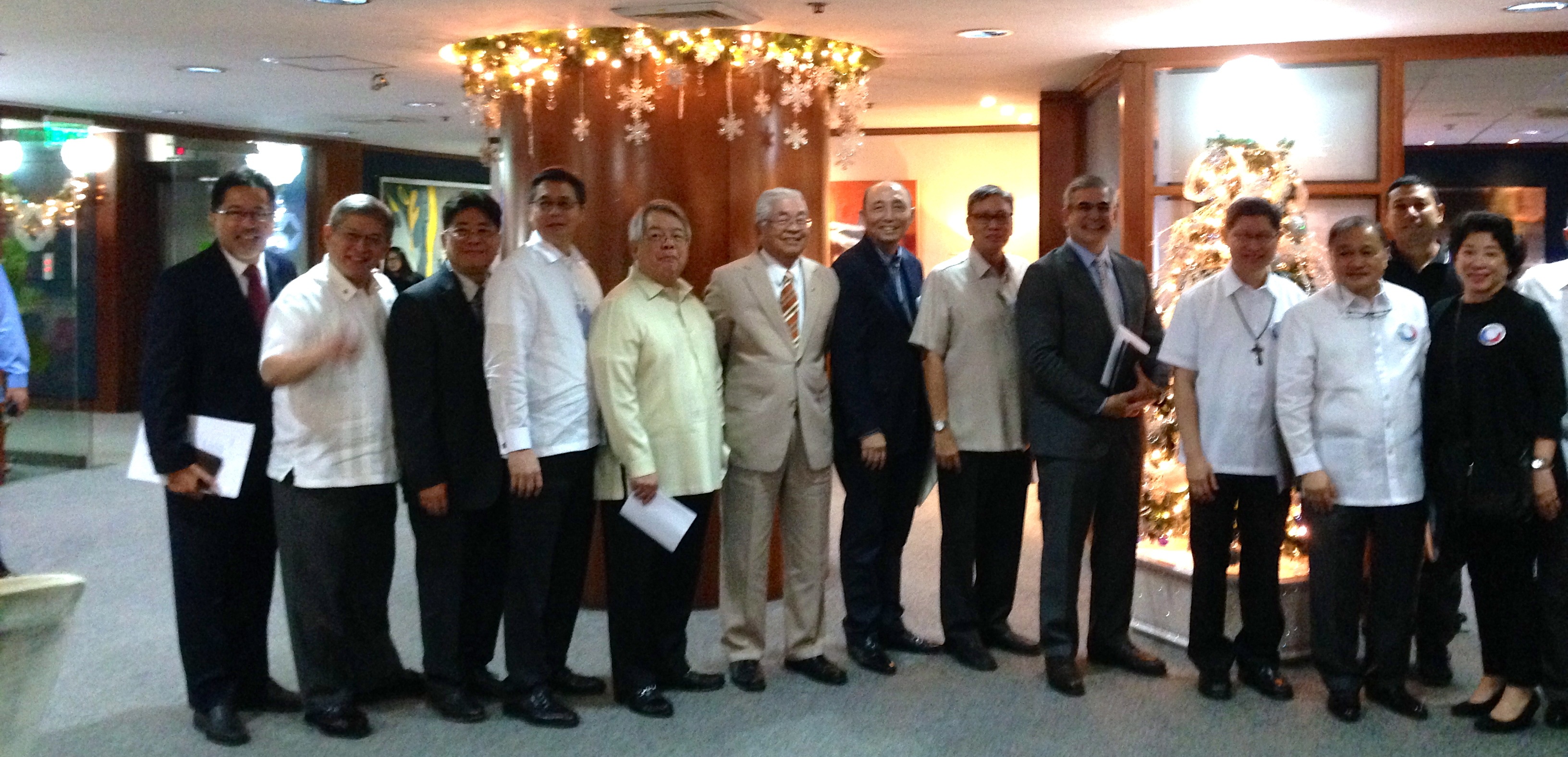
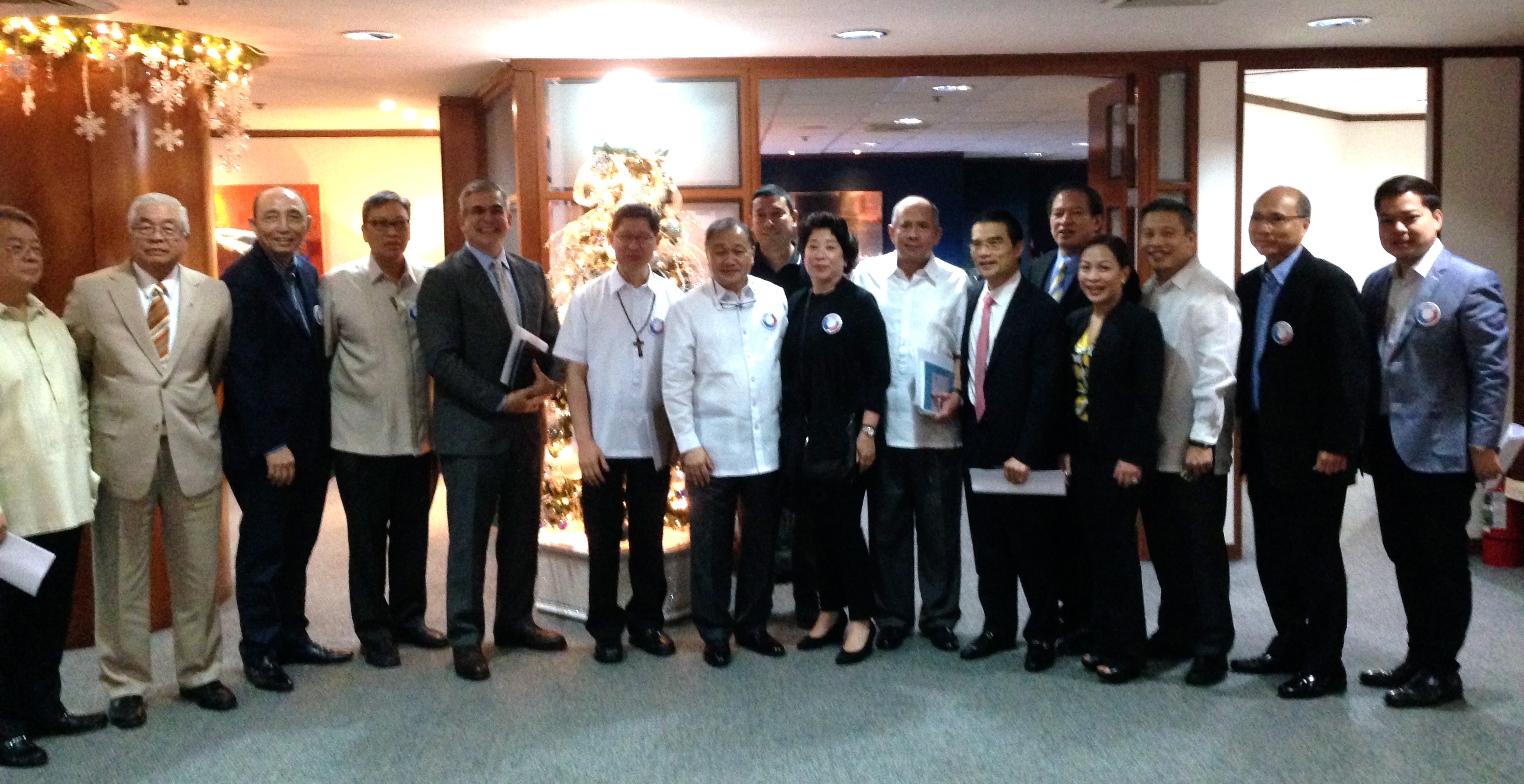
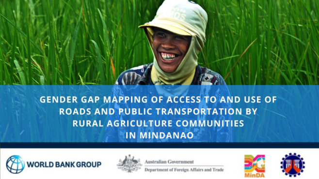
In 2019, with World Bank, IFC and Australian Department of Foreign Affairs and Trade funding, I was able to conduct five simultaneous studies, including World Bank’s first gender gap mapping study, across six provinces in the conflict region of Mindanao in the Philippines as Technical Assistance for the Mindanao Transport Connectivity Improvement Project:
- 600 Gender Gap Mapping Household Surveys
- 7000 Agriculture Commodity Flow and Origin-Destination Surveys
- Six Province AI Studies on Industrial Logistics Congestion and Challenges
- 3 Regional Open Workshops for 180 Cross-Sector Participants (including micro enterprise through to conglomerates)
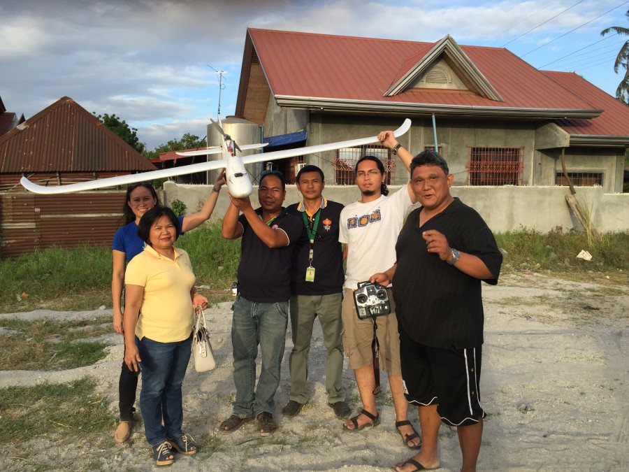
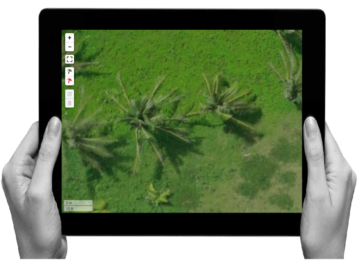
- Road, Agriculture, Micro to Medium Enterprise (MSME) to Industrial, Indigenous, Tourism and Creative Industries and Disaster Infrastructure Field and Remote Mapping
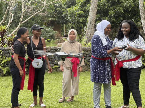
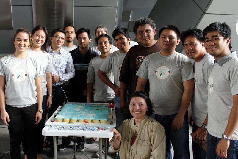
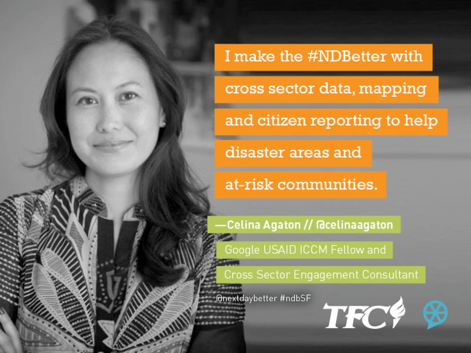
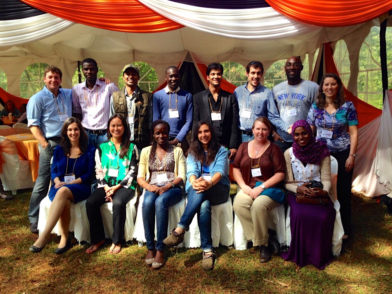
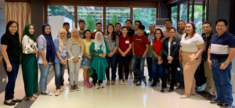
These studies required 200 field staff, all of whom were Filipino, and 180 were located in close proximity to the survey sites. For the community-based mapping workshops, I undertook a careful validation process of ensuring the community was represented by progressive cross-sector leaders across government, business, non-profit, schools and university staff and students, and local community leaders. Rather than requiring a technical background, an interest to learn and teach others was the primary criteria, because the best knowledge often comes from people with strong community ties and diverse experiences. Our simplified mapping techniques ensure that anyone can learn to map, and we’ve trained people from age 6-60+ years.
Through our exclusive use of free and open source software and frugal sciencem methods, and hiring local staff and data collectors and processors, we not only strengthen local community engagement, but we are able to increase and improve the standard of data and outputs, at a much lower costs and environmental footprint. This enabled on average, and increase of 2-5 times higher staff and data wages. With every expense designed to directly benefit the local community sites, we create opportunities for research, investment, policy and program development studies, across public and private sectors to be transformed into accelerated impact models.
We were fortunate to compelete the program and report approvals in March 2020. This project enabled and challenged me to further develop inclusive innovations, frugal science, and safer methods that achieve representative data samples at scale, while supporting our highest wages to date, which is US$100 per hour for fully remote recruitment and data collection during the pandemic.
Following the approved expansion of the program in November 2025, the World Bank announced a $455 million fund to support the expansion of the Mindanao Transport Connectivity Improvement Project.